


TAMPA: It’s the stuff of science fiction: intelligence analysts hands spinning a shimmering virtual globe and pulling strands of complex streams of data over it to build a three-dimensional planning model which they can share with soldiers on the battlefield.
It’s clear the National Geospatial Intelligence Agency is nowhere near deploying such capabilities, but its dynamic leader, Laetitia Long, has built much of her reputation pursuing long shots to try and stretch the organization and to keep rebuilding its culture.
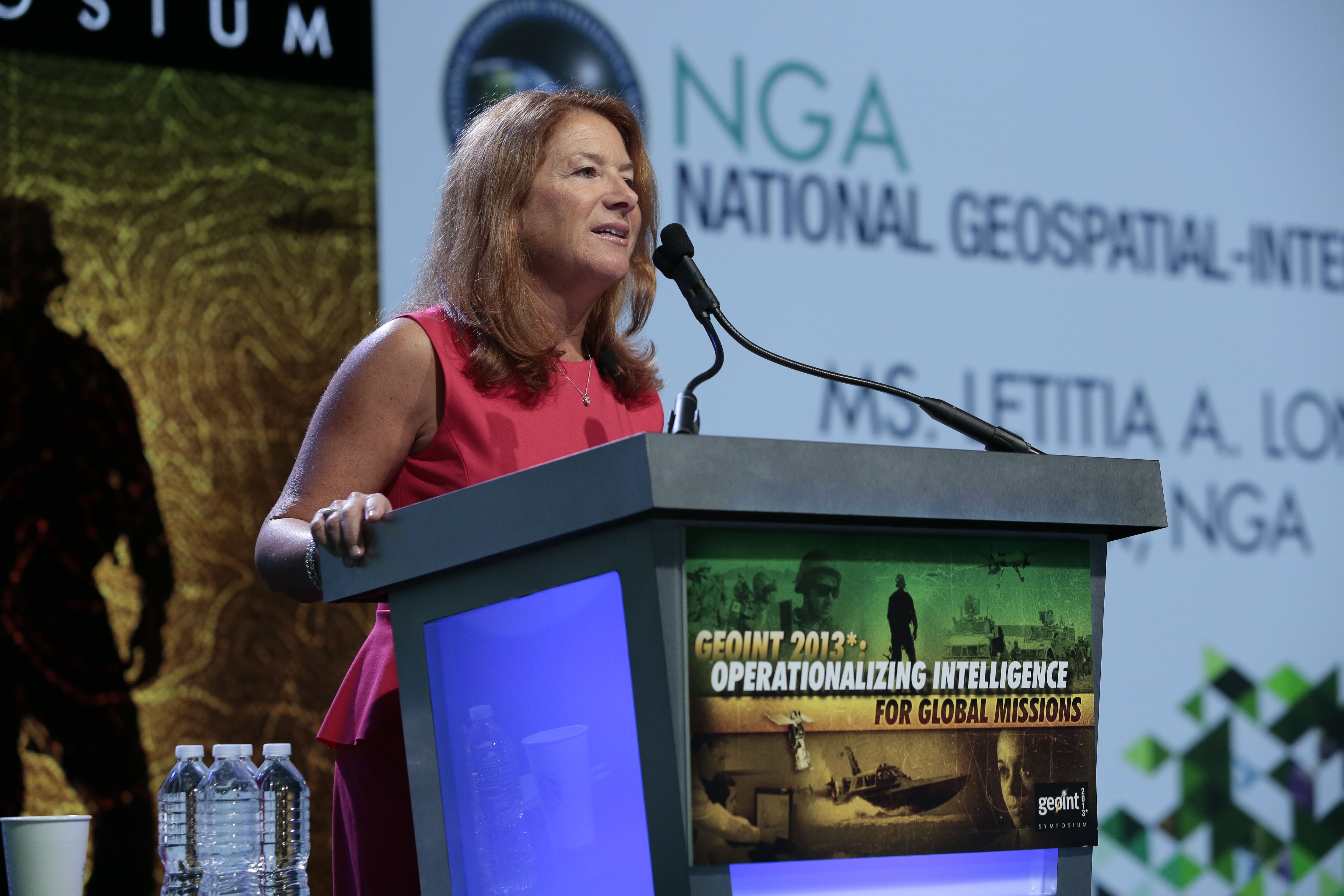
“I am here today to say that: NGA is at a decisive moment in our history; NGA is driving intelligence integration; and NGA is leading the way from integration to the next phase of intelligence,” Long said in her keynote speech.
But the goal isn’t just to have really cool looking technologies that make folks go ooh. The goal is to build an intelligence enterprise that delivers better, more predictive intelligence. Long’s goal for the agency is to make geointelligence the foundation for America’s intelligence community’s analysis, providing more precise warnings and indicators, and allowing analysts and front-line to visualize the problems they face. She said in her speech she has moved “hundreds of millions of dollars within” her budget to make this possible. She did not provide any other details about where the money is being spent or where it was moved from.
Long GEOINT 2014_FINAL_v22_15_Apr
Some of the speech was clearly intended to be inspirational but was too vague to provide much guidance about what Long really wants to achieve.
Lt. Gen. Michael Flynn, head of the Defense Intelligence Agency, speaking to reporters after her speech, said “cultural change” — usually the hardest thing to effect in a bureaucracy — must occur to cope with the new technical and conceptual approaches in Long’s vision. And Long admitted that the agency came very close to a major misstep in developing this overall system: “We were almost at the point of going down the wrong path, continuing to procure the consolidated feature production environment contract in a stovepiped way.”
(Some of this innovation has been around for at least four years, as this video from Leidos/SAIC shows:)
One of the few references I could find to illuminate this concept comes from the Federation of American Scientists website, where they posted an unclassified version of the NGA budget request for fiscal 2011:
“(U//FOUO) Source Assessment and Earth Reference Model (ERM) Project resources enable seamless, accurate, geodetic measurements of the earth’s surface for all National System [my emphasis] for Geospatial-Intelligence (NSG) geospatial accuracy requirements to support mission partner and national security objectives. The ERM consists of four levels of data density (global, regional, local, and specialized) and seven data domains, five of which are funded in the NIP to include feature data, terrain elevation data, controlled stereo imagery data, controlled mono imagery data, and geodesy and geophysical data. The remaining two (aero and maritime) are funded in the MlP. NGA uses non-imagery and geospatial data to provide the underlying 3-D navigation, positioning, and targeting information for national, DoD, and IC mission partner operations.”
Or, as Long put it during a press conference after her Tuesday speech: “The map of the world is our content.” Then the Leidos company released a new product this morning that gives some idea of just how well such efforts are proceeding. While accepting that there may be some exaggeration in their description, they make a pretty bold claim:
“Leidos has developed the GLobal Planning and Monitoring Service (GLMPS) to quickly characterize and ultimately predict areas of the world with the highest probability of instability. Leveraging the power of machine learning, data mining, and a historical database of Geospatial and Cultural Indicators, in early tests GLMPS demonstrates greater than 75% accuracy in predicting instability in specific regions.”
That’s right. The company claims it can reliably tell commercial clients in advance what parts of the world will dissolve into instability. That is exactly the sort of predictive ability Long and NGA are aiming for, though we hope they are aiming for a higher degree of accuracy, given the possible ramifications of incorrect predictions. We know it’s intelligence and thus always uncertain, but policymakers may well come to expect a high degree of certainty, especially when it’s wrapped in such glittering technology.

ROC-X – The solution to organic precision strike capabilities
At AUSA Global Force 2024, IAI will present integrated, AI-driven combat systems – both manned and unmanned – that are opening new opportunities on the battlefield.

Major trends and takeaways from the Defense Department’s Unfunded Priority Lists
Mark Cancian and Chris Park of CSIS break down what is in this year’s unfunded priority lists and what they say about the state of the US military.