


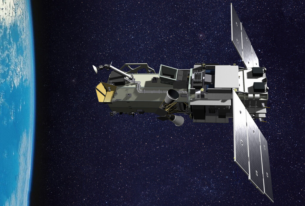
WorldView-3 satellite, DigitalGlobe image
WASHINGTON: The National Geospatial-Intelligence Agency (NGA) has re-upped it contract with Maxar Technologies for access to the company’s web-based platform that allows NGA to disseminate its high-resolution imagery to government customers.
The new deal extending the Global Enhanced GEOINT Delivery (Global EGD) program kicks off Sept. 1 under a $44 million one-year option, and includes options for three more annual tranches at the same price, according to an Aug. 27 Maxar press release.
“Since 2011, the Global EGD program has allowed warfighters, first responders, intelligence analysts and civil government users to tap into Maxar’s 100-petabyte historical imagery library and daily imagery collections for time sensitive, mission-critical planning and operations,” the press release said.
Maxar is a newish corporate entity formed from the merger of commercial remote sensing behemoth DigitalGlobe, data analytics firm Radiant Solutions and manufacturer SSL under MacDonald Dettwiler and Associates. It finalized its US operational status earlier this year.
The Global EGD system is a “web portal and delivery platform” that allows NGA’s customers — i.e., US government officials in need of remote sensing imagery — to rapidly and easily find both current and historical imagery in Maxar’s vast library, a company official told me today. That remote sensing data and imagery is gathered by Maxar’s satellite constellations and licensed by the US government for its use, the official said.
“The Global EGD program has proven to be an essential capability for NGA and a broad array of U.S. Government users,” said Dan Jablonsky, Maxar CEO, in the corporate release. “With this contract, Maxar extends its decades-long standing as a trusted partner to the U.S. Government. We are proud to continue providing American troops, intelligence analysts and first responders with the information and insight to make decisions with confidence.”
NGA’s Global EGD program is a good example of how the 2017 bifurcation of authority over commercial remote sensing acquisition between the NGA and the National Reconnaissance Office (NRO) — a transition that remains somewhat troubled –is supposed to work.
Maxar’s web platform is a type of ‘value added service’ that falls under NGA’s remit. The Global EGD program, however, does not involve the sale by Maxar of the images being accessed via that platform to NGA. Instead, NRO now is the acquisition authority for licensing the images from Maxar’s WorldView and GeoEye satellites.
NRO took over the legacy EnhancedView program from NGA in August 2018, under which the agency had been buying imagery from DigitalGlobe. The company had been a key provider of commercial remote sensing imagery to the US government for many years. In September 2018, NRO issued a contract for the EnhancedView Follow-On program to DigitalGlobe. Rather than a firm long-term buy, however, that was a $300 million, one-year contract for NRO to access data from Maxar’s WorldView and GeoEye satellites, with an option for another year’s worth of imagery for a total of $600 million in potential work. Maxar in November 2018 won a contract extension covering 2021-2023, bringing the potential revenue total up to $900 million for that time frame.
However, NRO’s Director for GEOINT (geospatial intelligence) Troy Meink told reporters at the 2019 Space Symposium in June that the spy satellite office had signed “study contracts” with BlackSky Global and Planet, two commercial Earth observation start-ups, as potential EnhancedView Follow-On vendors. Maxar was also was awarded a study contract, designed to allow NRO to evaluated some of its new capabilities being ramped up for its commercial customers.
NRO is expected to make a decision by June 2020 about whether to continue the EnhancedView Follow-On program with only Maxar, choose one of the two newcomers, or buy imagery from all three. Given the almost insatiable USG desire for remote sensing data and imagery, smart bets are on the latter solution.

Enterprise-wide training: the Army’s $3.5B program for multi-service combat readiness
The competition for Warfighter Training and Readiness Solutions will bring together training networks, combat training centers and live ranges across the DoD enterprise.

In a ‘world first,’ DARPA project demonstrates AI dogfighting in real jet
“The potential for machine learning in aviation, whether military or civil, is enormous,” said Air Force Col. James Valpiani. “And these fundamental questions of how do we do it, how do we do it safely, how do we train them, are the questions that we are trying to get after.”