


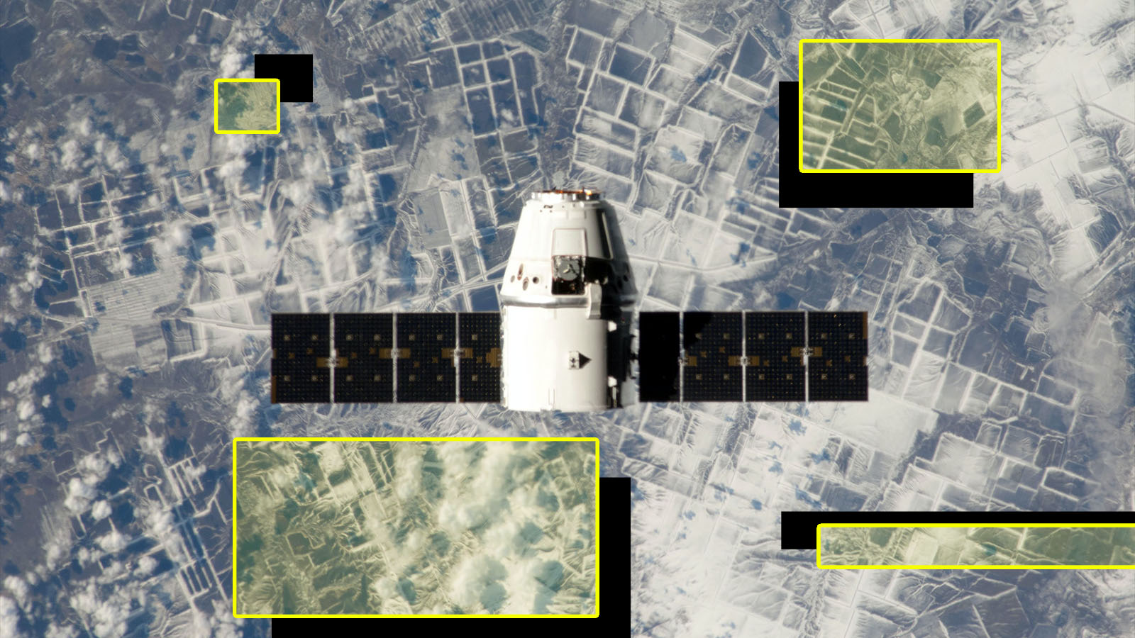
Leaders at US satellite intelligence outfits say they’re worried about imagery manipulated with deepfake technology. (Graphic by Breaking Defense. Original image SpaceX via Pexels.)
WASHINGTON: Improving cybersecurity — in particular, developing methods to weed out “deep fake” imagery and computer-manipulated data — will be one of the National Geospatial-Intelligence Agency’s top priorities for this year and next, Chief Information Officer Mark Andress said today.
“I don’t think that’s a shocker to anyone in the world we’re living in today,” he told a webinar sponsored by the Intelligence National Security Alliance (INSA).
Andress said that “data access and integrity” is one of the four “mission imperatives” NGA Director Vice Adm. Robert Sharp articulated in his 2020 “Director’s Intent” memo, outlining the agency’s strategy for providing its government customers, which include not only the Intelligence Community but also the Defense Department and civil departments/agencies such as FEMA, with geospatial intelligence (GEOINT).
Doing so, he elaborated, “is not just about ensuring that the data we obtain and deliver is secure from a cybersecurity perspective, but the integrity of the data in a world where the exploitation of imagery, the manipulation of imagery and deep fakes, computer-driven manipulation of data is huge. So we have an obligation to ensure that integrity.”
Andress explained that NGA undertakes “significant vetting … before we even accept an image and put our stamp on it.” His office has an engineering team that is specifically responsible for “certifying the accuracy, the validity, of any of those products and the metadata around them.” This includes, he noted, imagery and data provide by foreign partners.
He stressed that unclassified and shareable intelligence data is important to US national security writ large. “Those unclassified products are hugely valuable across the entire diplomatic and economic aspects of great power competition,” he said.
NGA’s analysts have a key role in not only vetting unclassified information up front, but also flagging “when false information is published in the national security space,” he added. “So, it’s not just the technology, I would say it’s the expertise” that NGA brings to the table.
Andress noted that NGA has a number of partnerships in working on deep fakes and imagery manipulation, including with the National Reconnaissance Office (NRO), which as of 2017 has been charged with obtaining imagery from commercial satellite providers for use by NGA analysts.
“A lot of those inside the IC and with with DoD on on a couple of aspects of this,” he said. “One is a no kidding methodology — algorithms — to vet imagery products. And we do that obviously in partnership with NRO, who manages much of our space-based commercial data integration. So we have a fantastic technology sharing agreement with the NRO and some research labs out there that are building this kind of the screening, if you will, for sources of data.”
Another key area of collaborative work on cybersecurity and deep fakes is “an emphasis on data standards,” Andress said. “That’s a no-brainer in the cybersecurity community. We’re all about data standards, reporting, all that type of stuff in the imagery world.”
He explained that data standards aren’t just important for cybersecurity and ensuring the quality of imagery and data, they are “equally important” for allowing NGA to speed products to customers and build a new kind of hybrid information architecture that is able to ingest and integrate data from myriad sources outside the IC.
“We’re literally pivoting across the board, from system-by-system, sensor-by-sensor to an enterprise operating system and sensor-agnostic data ingest, storage and dissemination,” Andress said. “And by the way, we are doing this in partnership with industry at multiple levels, because we don’t have all the information and we really do see this as a collaborative space. … Making sure that the standards get us towards sensor-agnostic access will be a huge force multiplier.”
NGA on Nov. 4 released its long-anticipated “Geospatial Intelligence Enterprise Commercial GEOINT Strategy 2021-2025,” which calls on the GEOINT community “to leverage more commercial technologies and methods to help the enterprise move faster and grow stronger.”
The strategy sets out initiatives across four areas:
- Drive unity of effort;
- Diversify sources and build capacity through partnerships;
- Improve data security and develop processes to mitigate risks; and
- Influence and foster commercial capabilities.

A new approach to speed, scale and efficiency for the industrial base
Radars, EW, EO/IR, space imagery, and microelectronics are brought under one roof for a streamlined approach to common people and factories.

Major trends and takeaways from the Defense Department’s Unfunded Priority Lists
Mark Cancian and Chris Park of CSIS break down what is in this year’s unfunded priority lists and what they say about the state of the US military.