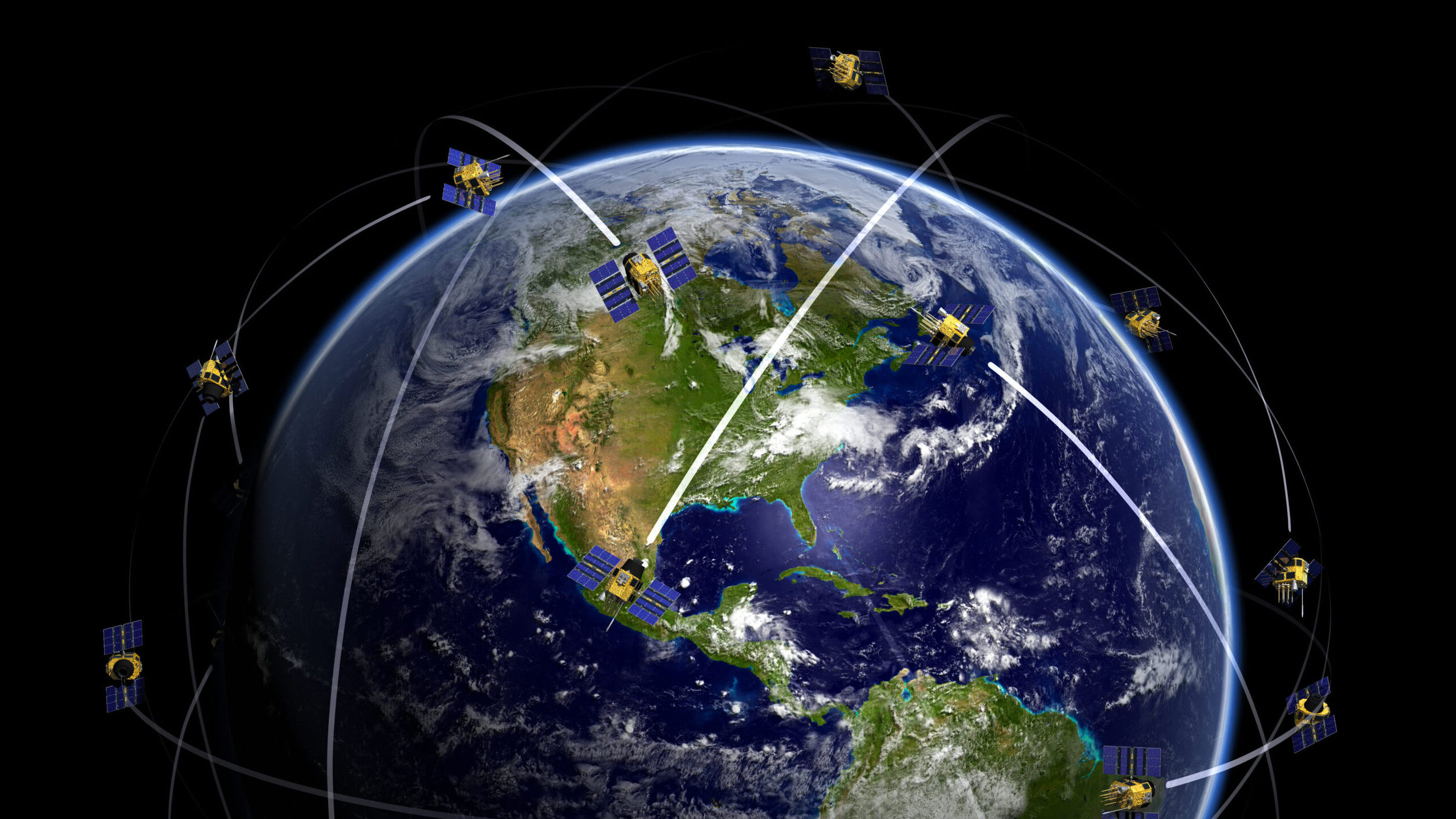
WASHINGTON — As Defense Department concern grows about the increasing ability of adversaries to disrupt GPS satellite signals, experts warn that there is no one-size-fits-all alternative to meet military needs for positioning, navigation and timing (PNT) capabilities.
Radio-frequency (RF) signals broadcasted from Global Positioning System satellites can be used by a wide variety of platforms for almost an infinite number of military missions — ranging from helping a soldier navigate an all-terrain vehicle in an unfamiliar landscape to steering an airborne missile to its target.
The problem, as is being demonstrated every day in conflict zones such as Ukraine and Gaza, is that GPS RF signals are weak and easily jammed — or, perhaps worse, spoofed to fool users into going to or looking at the wrong place. For example, in March a plane carrying UK Defence Minister Grant Shapps from Poland back to Britain lost GPS near Kaliningrad due to suspected Russian jamming — something that his spokesperson said is not unusual over Russia’s Baltic coast.
“It’s a real world problem,” Michael Monteleone, the director of Army Futures Command’s new All-Domain Sensing Cross-Functional Team (CFT), said during a May 5 panel at the US Geospatial Intelligence Foundation’s annual GEOINT conference in Kissimmee, Fla.
Thus, the Pentagon, the Space Force, the Army and the other military services have been scrambling to find alternatives for when (not if) GPS stops working on the battlefield.
The difficulty, however, is that each technique available now or in the foreseeable future for what is often called “alt-PNT” comes with a need to make size, weight, power and cost trade-offs based on what type of platform is being used, as well as the nature duration of the mission, according to experts.
Lloyd Dabbs, director of public sector business development for SandboxAQ, explained during the GEOIN panel that the Pentagon will need a “holistic strategy” to develop methods for creating “a good composite signal” provided by combining different techniques. “Nothing will ever take over for GPS,” he said.
“There is no silver bullet,” Nikki Markiel, senior GEOINT authority for geomatics at the National Geospatial-Intelligence Agency (NGA), told Breaking Defense . “Everybody would like to have one. And I think that is where a lot of the struggle comes, because GPS has been easy. It’s ubiquitous.”
“Now you have to do some homework,” she told Breaking Defense.
Finding Where You Are, Where You Are Going
Markiel explained that there are six broad “families” of methodologies for positioning and navigation based on the type of data used. The good news is that means there are alternatives. The bad news is it means each can provide separate benefits and drawbacks.
“The key point in my mindset is that at the end of the day, it’s really about the data. Folks really want to chase down the path of technology but really it’s what data is going to be available to enable that technology,” Markiel added.
GPS itself falls under the first, and most widely used today, method for determining where you are and where you are going: RF signals. Other countries have developed their own RF satellites similar to GPS — such as Europe’s Galileo constellation and China’s Beidou birds — meaning one of things the US military could do to provide GPS backup is simply make its receivers compatible with those systems, just as most civilian cell phones already are.
Cell towers and radio/TV towers also provide “signals of opportunity,” other types of RF signals that can be tapped into for positioning and timing.
However, Markiel said, it is unclear what real benefits these alternatives to GPS really bring.
“If you can jam GPS, you can jam anything else in the RF spectrum just as well,” she said. “The second issue is someone has to be monitoring to make sure that whatever that RF is, it is legitimate.
“The great value of GPS is that between NGA and the US Space Force, every six seconds every GPS transmission is validated. The world can trust it because every six seconds it just got validated. We know in near real time if its not [accurate,]” Markiel said.
A second family of devices are those based on using gravity, Markiel said, which is how inertial navigation systems (INS) such as those carried by most military aircraft work. The drawback of these devices is that they “drift” and have to be course corrected by other means, usually by GPS.
“There are efforts to make INS’ better, both in industry and in government. But you’ll never eliminate all of” the drift, she said. On the other hand, “gravity can’t be jammed.”
A third methodology for positioning and timing uses “crustal magnetics,” Markiel said. Known as “mag-nav,” the essence of the technique is the use of a magnetometer to measure changes in the Earth’s magnetic field.
“When rock solidifies, it locks in the signature of the Earth’s magnetic field at that time,” she explained. “And that provides a very unique signature that fundamentally doesn’t change unless the rocks get melted and reconstitute to what the magnetic field direction is today. So, if you have an onboard magnetometer, you can collect the data, compare it to an onboard map and figure out where you are.”
Mag-nav systems have a number of advantages, Markiel said. “It works very well over land, very well over sea … is essentially unjamable, and you can’t change it” to spoof someone. A mag-nav system also “is a passive sensor, so you’re not giving away your position. So it’s really an ideal solution.”
The big problem yet to be overcome is first “getting the data” to figure out whether these types of systems can meet warfighter needs, she said. “What does the fidelity data need to be, how much data do you need, how accurate does the data need to be? Those things are not fully understood yet.”
Celestial navigation is a fourth method, using the location of stars and planets like sailors have since time immemorial. Markiel noted that there are some new tricks being explored for this ancient art, such as using man-made space debris as well as natural celestial bodies.
“Space junk can be particularly advantageous. It does not do sudden maneuvers. It just kind of tends to float along doing its thing,” she said.
On the other hand, clouds and bad weather — as well as smoke which isn’t uncommon on a battlefield — are curses for this type of navigation.
Likewise, weather and smoke are obstacles for the fifth potential alternative to GPS: remote sensing, basically such “visual navigation” simply using landmarks and a paper map.
Using elevation or bathymetry — measuring distance above land or sea — is the sixth method that has been in use “for many, many decades,” Markiel said.
Cruise missiles, for instance, use altimeters, bouncing radar beams “off of the land,” and match the return signals “to an onboard elevation map. That’s how cruise missiles navigate inland and do bad things to bad people,” she said. “You can equally do sonar, obviously submarines … have been bouncing sonar beams for many many years.”
The problem with these methods is that they require an “active sensor,” she said. “You’ve got to shoot out radar beams, you’ve got to shoot out sonar beams. You’ve now advertised where your position is and that that can be a bad thing.”
In the end, Markiel and other experts said, it will take a painstaking process for the services to sort through all the options.
“All of them have their their advantages and their disadvantages.” she concluded.