


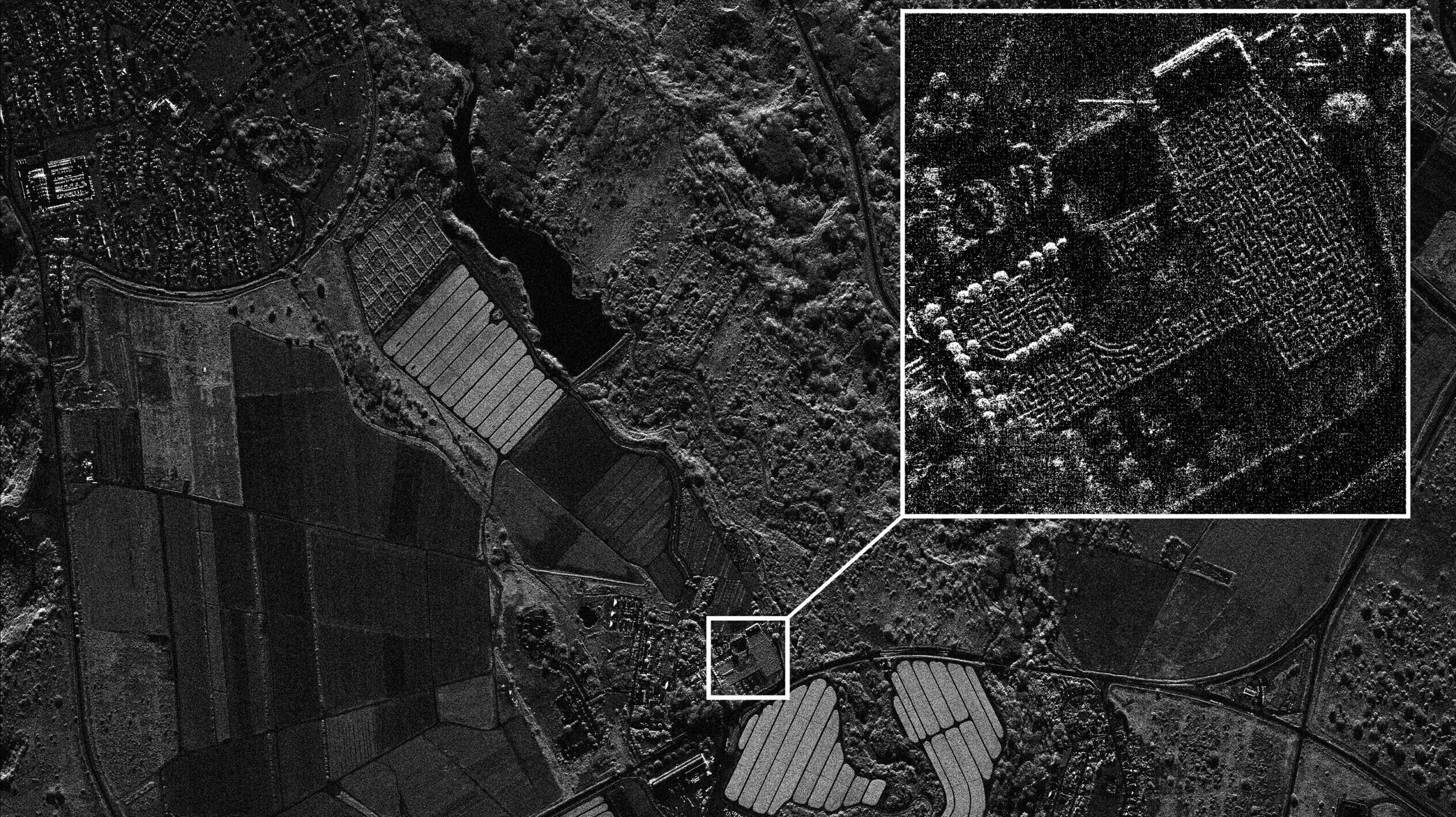
Umbra is now providing SAR images with 16 centimeter resolution. (Umbra Space)
SMD SYMPOSIUM — The National Oceanic and Atmospheric Administration (NOAA) has loosened national security-related licensing restrictions on US commercial remote sensing firms, in a move that will be welcomed by industry, especially startups pioneering new capabilities.
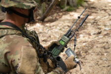
While effectively opening up the customer base for space-based imaging firms, the rule change is particularly important for operators of satellites with synthetic aperture radar (SAR) and space-based sensors that can image celestial bodies and other satellites — both capabilities in high demand by military leaders, but also of some concern with regard to secrecy.
“These license conditions had previously restricted the operations of the commercial satellites, preventing them from offering their full remote sensing capabilities to the public,” NOAA’s Commercial Remote Sensing Regulatory Affairs (CRSRA) office said in a Monday press release on the eve of the National Defense Industry Association’s annual Space and Missile Defense (SMD) Symposium here.
The restrictions were first levied by the Commerce Department, NOAA’s parent organization, in a sweeping 2020 regulatory reform effort, and apply to firms in what CRSRA calls “Tier 3” of the licensing regime. That category covers providers of any “system with the capability to collect unenhanced data not substantially the same as unenhanced data already available from any domestic or foreign entity or individual,” according to NOAA [PDF]. As of the the first quarter of this year, 23 companies held Tier 3 licenses.
The 2020 NOAA rules set the restrictions for one year, and gave DoD and the State Department the right to ask for them to be extended annually for up to three years — after which the restrictions could only be further extended if the secretaries of either department themselves made a request, with the “burden of proof” that it was needed falling on them.
That the three-year extension ended without DoD making a compelling case the Tier 3 restrictions are still needed “shows a healthy process by which the government can work with industry to address security concerns and adapt over time in response to changing international competition,” one Commerce official told Breaking Defense.
As each set of Tier 3 licensing restrictions is created on a case-by-case basis for an individual firm, however, CRSRA didn’t provide a detailed list of what exactly has been rescinded in the latest rule change.
“On July 19, 2023, the first set of ‘Tier 3’ conditions – imposed on the nation’s most capable, unmatched commercial remote sensing systems – permanently expired. NOAA modified the licenses of its Tier 3 licensees to remove 39 individual temporary conditions,” the press release explained. “Other changes included: a reduction of global imaging restrictions for certain imaging modes to permit imaging and distribution for all but less than 1% of the Earth’s surface; removal of some Non-Earth Imaging & Rapid Revisit conditions; and most notably, a removal of all of the current X-Band Synthetic Aperture Radar (SAR) temporary conditions.”
The 2020 Tier 3 regulations at the insistence of the Defense Department capped the resolution of SAR images sold to non-US government buyers, out of concerns about high resolution imagery revealing secrets about military bases to foreign governments.
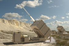
Loosening the restrictions “reduces internal management complexity, opens up more products to sell to customers that we couldn’t before, and provides certainty for innovation and future investment,” Todd Master, chief operating officer at SAR imagery provider Umbra Space, told Breaking Defense in an email.
Master explained that for Umbra (and no doubt other US SAR providers) the easing of the SAR restrictions is a big deal.
“Prior to this change, we could only sell our complex data products (all of the underlying data that is used to formulate a radar image) better than 25cm to the USG, not to anyone else. This presented a challenge when we have collections that are *slightly* better than 25cm: SAR can be a bit more variable than electro-optical based on the geometry between the spacecraft and the area being collected,” he explained via email.
“It prevented us from sharing that data with customers who would like to do analysis on the complex data — which is what hard core analysts and scientists do. This hurt both our growth as well as analytics firms, and also required a much more complicated internal data segregation approach on our side. Those barriers have been knocked down. Our system is capable of imaging down to about 16cm in the ground plane, which we also could not sell/distribute prior to this relief — so that has also been unlocked,” Master added.
Umbra’s revealed its 16 cm resolution, including images, in a Aug. 7 announcement on the company’s website.
Non-Earth Imaging
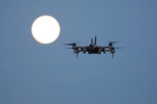
The 2020 regulations also forbade imaging of what NOAA calls “artificial resident space objects” — for example, satellites, spacecraft, space stations and debris — without permission of the owner, and a five-day advance notification to DoD. The restrictions also ruled out using SAR to image things in space. DoD was worried about being able to keep secret some military and Intelligence Community space satellites and spacecraft — for example, those that might be posing as pieces of space debris).
The licensing rules further made it difficult for companies to get approval for non-Earth imaging, requiring waivers. Up to now, the only US remote sensing firm announcing a NOAA license for non-Earth imaging is behemoth Maxar Technologies, and that was limited to low Earth orbit.
Several government and industry sources told Breaking Defense the new rule changes should actually help the Commerce Department and the Pentagon, by allowing them to improve their abilities to keep tabs on the heavens at a lower cost by buying commercial products. Another unit of Commerce, the Office of Space Commerce, currently is working to take over responsibility from DoD and Space Command for providing space situational awareness data to domestic commercial and civil users, as well as foreign governments.
Space-based sensors can allow watchers to more accurately track orbital movements, and help them predict potential satellite smash ups. But perhaps of greater interest to the Pentagon, they also could be used to ascertain the functionality of adversary spacecraft
Further, one senior government official added, the lifting of the space-imaging controls will help spur other innovative capabilities being backed strongly by the Biden administration — such as satellite repair and refueling, removal of dangerous space debris and the development of commercial space stations — thus helping to shore up US industry’s place in the growing global space economy.