


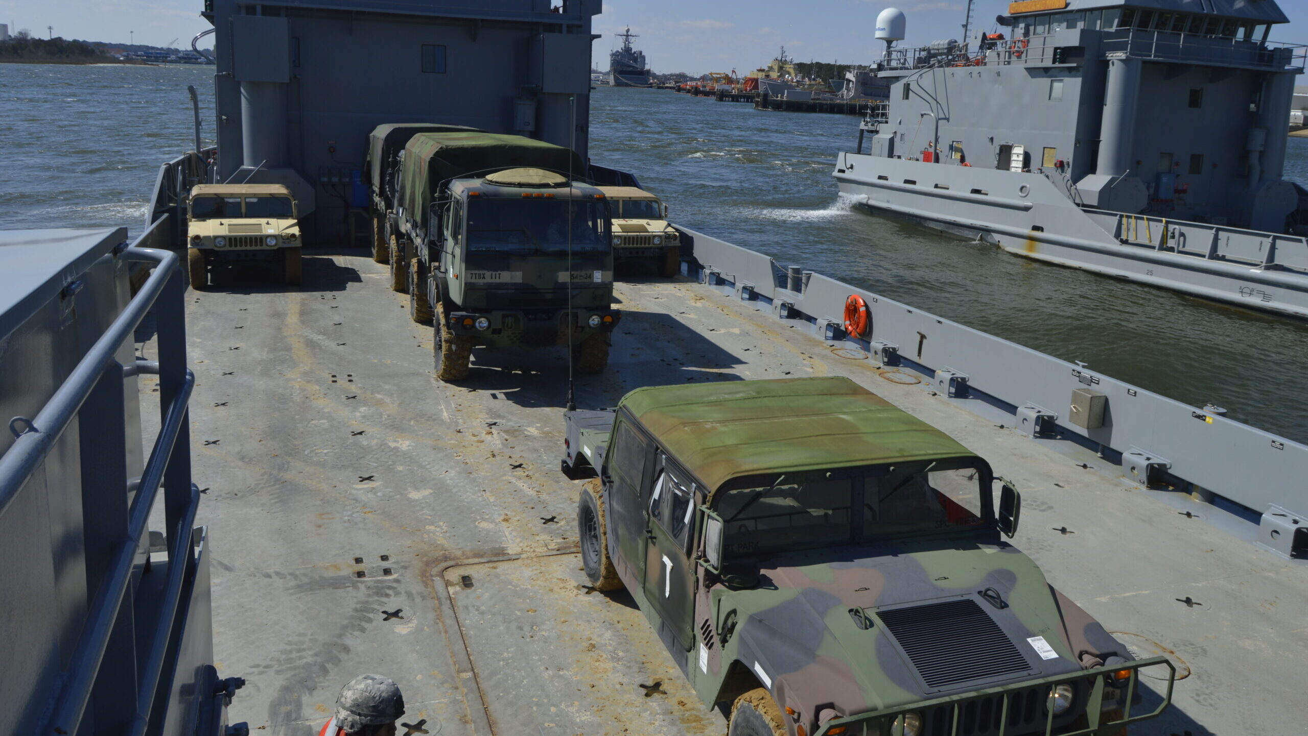
U.S. Army Reserve Soldiers with 384th Movement Control Team attached to the 348th Transportation Battalion (Terminal) conduct rapid deployment from Landing Craft Utility 2023, U.S. Army Vessel Hobkirk, during CSTX 78-18-03, at Joint Expeditionary Base Little Creek, March 13, 2018. (Army Reserve photo by Capt. Tom Piernicky)
AUSA 2023 — Littoral regions, such as the coastal areas of islands in the South China Sea, present a complex web of environmental problems for moving troops and equipment — challenges that the Army Corps of Engineers is hoping to overcome with an emerging portfolio of computerized planning tools, according to one of the service’s senior researchers.
“Littoral operations have been recently recognized by the Maneuver Support and Sustainment Centers of Excellence as a potential capability gap for the army, particularly in response to the escalation of threat levels in INDOPACOM [US Indo-Pacific Command],” said Kate Brodie, senior research oceanographer at the Engineer Research and Develop Center’s Coastal and Hydraulics Laboratory in Kitty Hawk, N.C., said Monday.
“While many of us may typically think of maritime operations as maybe more of the domain of the Navy or the Marine Corps, it’s really the Army that is charged with moving our troops or equipment or supplies across the land-water interface in order to enable early theater entry as well as support and sustain [Department of Defense] operations,” she told the annual Association of the United States Army conference in Washington, D.C.
RELATED: Marine Littoral Regiment to refine concepts of employment in coming months
The “complexities” faced by Army logistics and sustainment operations in the littoral regions are “vastly different from the challenges faced in the desert and mountainous regions that we’ve been more focused on for the past two decades,” she said, and involve a number of unique environmental hazards.
For example, Brodie explained, “weather and dynamic underwater environments can create waves, currents, changing water depths that can really open and close operational windows in a matter of minutes to hours, and this constrains our vessels and supplies away from their intended destination.”
Thus, her lab is working on a number of “self-sufficient maritime planning” tools for planners, with a focus on automating data integration from a number of sensors and speedily offering them decision options.
“We want to design and develop decision support tools that are focused on integrating remote data sources and global weather models to provide an ability to remotely plan a literal operation without having to put boots on the ground,” Brodie elaborated. “To complement that, we want to supplement these remote analysis tools with standoff and tactical tools, which can provide real-time assessments of environment hazards with the ultimate goal of fusing these real-time sensor feeds with augmented realities for vessel drivers so that they can have an improved awareness of environment hazards as they’re navigating towards the beach.”
These include a “web-based software interface” called Littoral Zone Maneuver Support Tool, she said, that according to her slide presentation “outputs bathymetry, beach slope, wave climatology, and forecasts of relevant variables in sandy open coast environments.”
The tool uses “publicly available satellite imagery” as well as “global wave and tide databases,” Brodie said, enabling users to develop a five-day forecast based that can “inform a literal crossing strategy.”
The lab has progressed to prototype testing in an operational environment for sandy regions, she added, but hopes now to adapt it to reefs and the Arctic coastlines.
Another research effort is aimed at developing a unmanned aerial system, called the Littoral Imaging System (LIS), that “measures beach topography, surf-zone water depths, and wave hazards,” according to Brodie’s slides.
“This is a standoff or tactical-scale UAS that can provide seamless, high-resolution topography and with imagery merged into a single view from a flight along the coastline. These data can then be used to identify and plan routes ashore. LIS can be launched from a vessel fly into a site and then provide an on the fly assessment of surf zone conditions and that needed water depth information and therefore, enable a distributed operation,” she said.