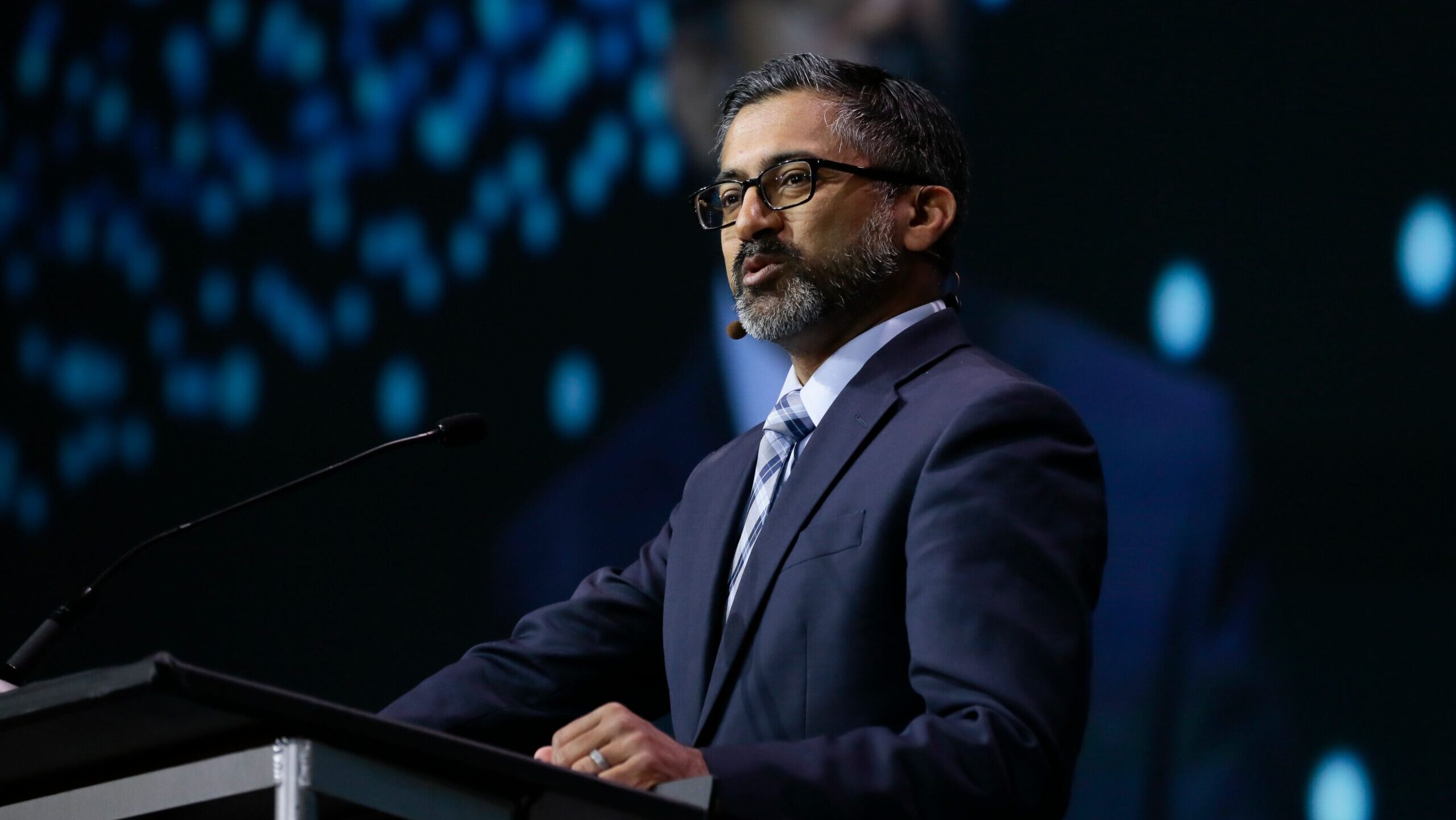
Chirag Parikh, executive director of the National Space Council, speaks at the 2024 GEOINT summit. (Courtesy GEOINT)
GEOINT 2024 — The White House National Space Council is actively working to resolve the ongoing “roles and missions” debate between the Space Force and the National Geospatial-Intelligence Agency (NGA), with officials now assessing the needs of military commanders for tactical intelligence, surveillance reconnaissance (ISR) and how best to fill them, according to a top council official.
“This is something that we really want to tackle. We know this is very important. This is an absolutely critical community. This is an absolutely critical time for us to make the right decisions, because what we do now is going to have an impact over the next decade, not just within the United States but around the world,” Chirag Parikh, the council’s executive director, told the US Geospatial Intelligence Foundation’s annual GEOINT conference here in Kissimmee, Fla., today.
The National Space Council, which is chaired by Vice President Kamala Harris, is using an “analytically driven process” to look at the issues, he said — confirming, as Breaking Defense first reported, that White House officials want to see a gap analysis of what combatant command requirements for imagery and analysis to enable targeting are not being met.
EXCLUSIVE: NGA director pushes back at criticisms of agency, touts value of ‘wetware,’ tradecraft
“We still need to better quantify the anecdotes and the challenges that we’re hearing from COCOMS and from Space Force,” Parikh said. “We’re really looking forward to engaging with them to be able to best understand this, because if we’re hearing this from multiple angles, there’s probably truth in some of these things and we need to be able to figure it out.”
And while stressing the need not to try to fix what isn’t broken, Parikh said that NGA may well need to revamp some of its processes to keep up with the changing battlespace environment.
“Warfare has changed significantly from a global war on terror to now near-peer competition,” engendering discussions about “how we need data, when we need data, who needs the data, and what kind of data is needed,” Parikh explained. “These are challenges that we must wrestle with along the way, and really require us to significantly consider how to change our foundational enterprises to move forward.”
He stressed that NGA was created as a “combat support” agency, and that it must continue in that role to support combatant commanders — “but NGA is going to have to rise to the ever evolving GEOINT requirements.”
Parikh elaborated that this doesn’t mean that “NGA needs to support everything financially … NGA doesn’t need to own everything,” he said. “But NGA does need to strengthen some of its roles. So, for instance, in the functional management area, that is an area where I think we can use a lot more emphasis.”
As the US government’s GEOINT functional management agency, NGA is responsible for dissemination of data, imagery and analysis to users all the way from the president down to the soldier in the field.
“In the end, what we’re really going to have to figure out here is: what needs to change?” Parikh said. “Is it policies? Is it authorities? Is it processes? Is it funding? Is it purely just advocacy and communication? Maybe not much needs to change at all?
“I’m pretty sure something is going to change along the way,” he concluded.
