WASHINGTON — With NASA, the Space Force and US commercial companies advancing plans for future operations in cislunar space and on the Moon, a number of US agencies are scrambling to provide the foundational science required — such as more precise maps of the lunar surface.
But the work required goes beyond just simple topographical maps: Baseline measurements of a number of other key physical characteristics of the Moon itself and the space around it that will affect spacecraft (not to mention humans) have yet to be established. These include the magnetic and gravitational fields in the lunar region — both of which are used by positioning, navigation and timing (PNT) systems to tell spacecraft and people where they are when, as well as where they want to go and how to get there.
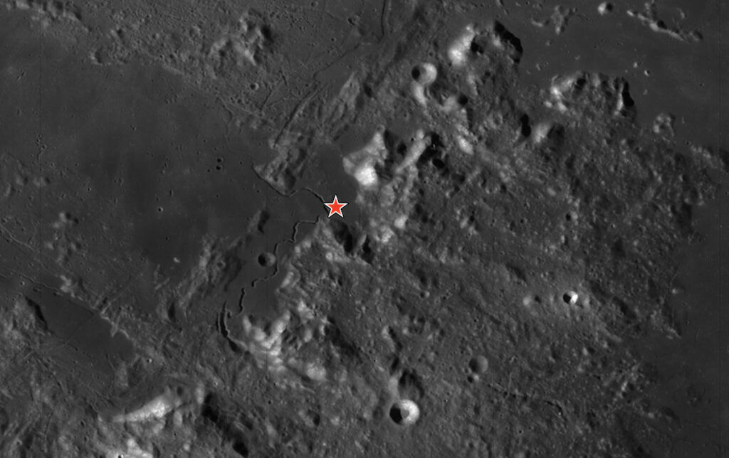
As detailed in the Biden administration’s 2022 National Cislunar Science and Technology Strategy put together by an interagency team that included the Defense Department, NASA has the lead in efforts to map the lunar surface and subsurface. While some maps obviously exist, the agency is trying to improve its information to support its ambitious, multi-year Artemis project to return US astronauts to the Moon on a more permanent basis.
For example, last year a joint project with the German Space Agency created the “first detailed, wide-area map” of water on the Moon. In March, NASA announced it had finished testing a trio of small rovers that will work together to provide 3D maps of the lunar subsurface — maps that, for example, could help determine where deposits of usable minerals are ripe for mining. (NASA was unable to comment by press time.)
The National Geospatial-Intelligence Agency (NGA) also is interested in helping out with Moon mapping if asked, according to Director Rear Adm. Frank Whitworth.
“That’s an open dialogue” with other agencies about what, if any, role NGA will play, but it’s a mission the agency will “be ready to jump on,” he told reporters at the annual US Geospatial Intelligence Foundation GEOINT conference on May 6. He noted that NGA’s predecessor organization played a key role in lunar mapping for the Apollo space program.
“The Air Force’s Aeronautical Chart and Information Center and the Army Map Service, both NGA predecessor organizations, were heavily involved in mapping the moon before the first moon landing, and the Army Map Service built a life-size lunar module simulator of the moon, including carved craters and airbrushed texture so astronauts could realistically practice the landing,” an agency spokesperson elaborated in an email.
PNT Goes To The Moon
NGA already is working with NASA, the US Geological Survey, the US Space Force and US Space Command to build a “lunar reference model,” similar to the World Geodetic System 1984 (WGS 84) for the Earth. That model is based on a set of constants and parameters that describe the Earth’s size, shape, and gravity and geomagnetic fields, and serves as a foundation for PNT.
But figuring out how to measure gravity in cislunar space, required to calibrate the atomic clocks used by PNT systems, also is a key task NGA is working on, according to Nikki Markiel, the agency’s senior GEOINT authority for geomatics.
Atomic clocks are used to keep time to the nanosecond — something required not just to ensure that bombs don’t miss their targets, but also used to manage crucial infrastructure such as the electrical grid.
While other agencies are charged with establishing timekeeping, NGA’s mission is, “How are we going to measure gravity to support it wherever they choose to put a clock. And that has some very, very unique challenges,” she said. (The Pentagon’s Global Positioning System satellite constellation is the world’s foremost network for providing PNT signals, but is calibrated for use on Earth, not on the Moon.)
“Two atomic clocks do not measure at the same frequency, if you will, they don’t tick at the same rate, if they’re not sitting on the same … gravitational surface,” Markiel explained. “GPS is a great example of this. It’s obviously not sitting at mean sea level. It’s moving at 25,000 miles an hour. And as such, we actually have to deliberately slow down the clocks onboard the satellites so that what it transmits and what we receive will sync.”
This is harder than it sounds, Markiel explained, in particular for the Lagrange points between the Earth and Moon — where the Space Force and a number of commercial companies are looking to orbit cislunar monitoring satellites and/or space stations.
Lagrange points are orbital positions where space objects are more or less balanced between the gravitational pulls of two larger bodies, such as the Earth and the Moon or the Earth and the Sun — thus it is easier for spacecraft to keep themselves in a stable orbit roughly in the same place. There are five such points in any orbital three-body system. For example, NASA’s James Webb Space Telescope is stationed at the second Lagrange point, or L2, between the Earth and the Sun.
The question, Markiel said, is “How do you measure gravity when [a] clock is sitting out there?”
To work on answering that question, NGA and NASA are co-planning a gathering in St. Louis, Mo, sometime in July.
“We are holding a Technical Exchange Meeting on how we will measure gravitational fields to support atomic clocks in the space environment,” Markiel said.
DARPA, the Pentagon’s far future research agency, also is involved in exploring basic science and tech for cislunar and lunar operations including PNT. DARPA in December launched its 10-Year Lunar Architecture (LunA-10) Capability Study, tapping 14 companies to develop technologies and operational concepts that, when integrated, will form the basis of a sustainable and profitable economic ecosystem linking the Earth and Moon.