
Naval mines remain one of the cheapest ways for an adversary to disrupt global commerce, restrict military movement, and turn strategic waterways into global flash points. Clearing them can take weeks or months and expose sailors and ships to both the minefield and enemy fire.
To discuss how unmanned vessels, advanced sonar, artificial intelligence, and remote effectors will accelerate that mission, Breaking Defense spoke with Mark Bock, vice president for strategy and business development at Advanced Acoustic Concepts (AAC), a Thales company.
Breaking Defense: What is a modern naval mine, and why does it remain such a serious strategic threat?

Bock: In the broad sense, mine threats come down to anti-access/area-denial (A2/AD) issues, either for economic or military reasons. Mines are extremely inexpensive and provide an asymmetric way of potentially denying a powerful nation’s ability to maintain free commerce or protect security.
The low-tech World War II-like mines are still effective in that and they’re easily rolled off of small boats. They’re cheap. A couple thousand dollars apiece, especially on the secondary market. And yet they’re indiscriminate and lethal.
Navies and commercial fleets also have to deal with more modern bottom mines, which get increasingly sophisticated and some can even be buried. In today’s contested maritime environments you have a whole host of different mines, but they’re all for the same reason, and that is to deny either specific or general access to sea lines of communication for either economic or military purpose.
How does the Navy conduct mine hunting and clearance today, and can it be dangerous?
When you have to find targets, you have to fix them, meaning locate them as a unique target, and classify them before you can dispose. We call this ‘find, fix and finish.’ Right now, navies worldwide – but the US Navy in particular – does this in three distinct steps. These steps take a long time to close the kill chain, which could be weeks or even months for complex regions.
The first thing is to ‘find’ what is beneath the surface. Asset location is literally ‘everything’ that’s on the bottom of the seabed. That could be anything from old refrigerators and anchors to perhaps a mine. There’s even terrain that looks like a man-made object. In the Navy, we call that a high-false-target environment.
The second phase, ‘fix,’ is to go back in and start looking at eliminating the objects that aren’t man-made, then eliminating the ones that are man-made but not mines, and then classifying the objects. This takes a long time and a lot of dedicated work. Oftentimes it means dwelling on each of those targets one by one. You can imagine how complex this process is in highly trafficked areas such as the Straits of Hormuz.
The in-column mines are less hard, although there are other things suspended from the bottom of the ocean. Floating mines can be found by airborne lasers. It’s what we call the ‘volume’ mines, the bottom mines, particularly, that are the hardest to get to and guarantee that you’ve got safe access.
The last step is to’finish’ and figure out which of those mines you want to dispose of. You have to go in and sit on that mine in the minefield today using disposal that is capable of blowing up the mine in place. That’s not only dangerous because you’re disposing of high explosives, it’s dangerous to whoever is there in the area.
The second piece is that when you’re overtly in a minefield, the enemy knows where you’ve cleared. You can argue that that’s playing out in the Straits of Hormuz right now. What a navy really wants to do is have access and options that the enemy is at least unaware of until you put traffic through them.
What does remote mine hunting consist of from the sensor point of view and boat point of view? Unmanned surface or underwater vessels?
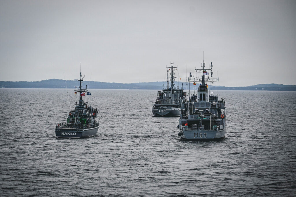
The proposed RMH solution actually consists of both because it’s about the sensor you’re using in terms of that kill chain. The towed sensor can be integrated onto both manned and unmanned surface vessels, which is preferred, to provide remote stand off capability. The Towed Synthetic Aperture Sonar, or TSAM, technology that Thales uses is common to both.
From a remote ability perspective, it gets at these technology warfighting gaps we talked about earlier, and that is getting the man farther away from the minefield and maintaining a certain sense of covertness. The difference is that the real-time data that comes from the USV, the surface tow, can be immediately sent to either a man in the loop or to AI if you’re using it as a classification capability.
A mixture of both manned vessels and USVs does one more thing because it also allows navies to deliver capacity. Putting 15 or 20 towed vessels in the environment and another 30 or 40 unmanned vessels hunting for mines gives you a much higher clearance rate than a single manned mine-hunting ship that doesn’t give you a large search or classification rate.
You can throw a lot more unmanned vessels at a problem than you can manned vessels just from an economic perspective, but also just from a bulk and size perspective. For instance, the unmanned systems can be put on airplanes and flown into the region, which gives response time and capacity.
Tell us about your technology for the remote mine hunting mission, the SAMDIS sonar sensor.
The key issue is this huge false-target rate and multiple targets you detect on the bottom – figuring out which ones are man-made and then distilling those down into what are mines. An old refrigerator thrown onto the ocean bottom is not a mine, but it sometimes is roughly the same size.
The advanced synthetic aperture sonar (SAS) sensor we call SAMDIS is a multi‑aspect imaging sonar that illuminates targets from multiple angles in a single pass. That multi-aspect sensor allows for this low-false target, high-probability to detect and high-probability to classify the first time it goes by the target.
What that means is that when you go through the minefield, the first time you see a mine, you have options now to neutralize. We call it a real-time detect-to-engage kill chain.
The SAMDIS sensor is European-developed technology, and AAC here in North America is doing the integration work of the whole suite to make sure these components can function together and be integrated onto whatever the US platforms are. The UK is using a version of this technology today as part of their Towed Synthetic Aperture Sona.
What Thales AAC is doing is importing and adapting this advanced, highly mature technology into the US market as quickly as possible.
Your mine warfare neutralization system is called Angler – a submersible, reusable, micro-sized, remotely operated vehicle (ROV) with either a 66mm shaped charge or high-velocity 20mm underwater cargo projectiles. Tell us about this.
The way you neutralize a mine today is you cause it to blow up, whether using explosives or some other means. What you would see in the Straits of Hormuz, for instance, are geysers of water in the air within an exclusion area so that nobody gets hurt. Well, that’s not covert.
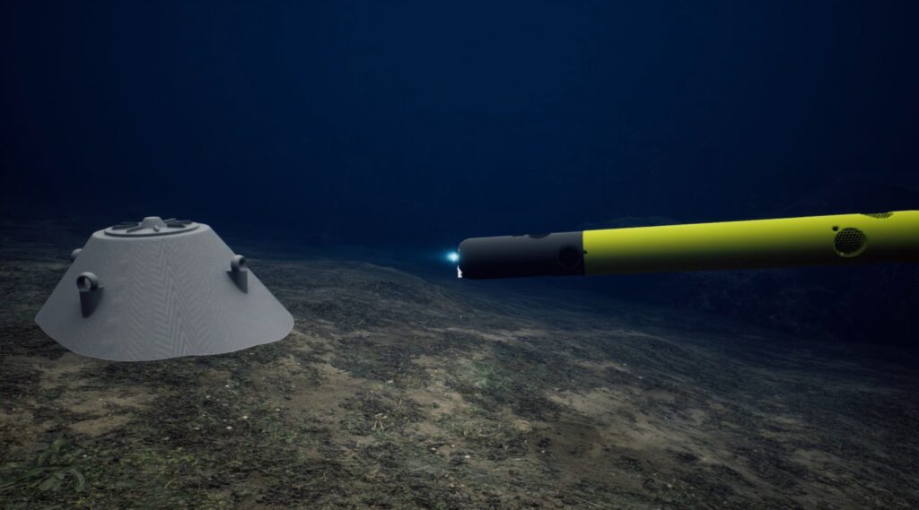
The Angler countermine ROV system does not necessarily cause sympathetic detonation. It will deliver an effect to the mine to neutralize it without the massive explosive reaction
Angler also has the capability after delivering the effects to observe the mine or seabed object and document the effects for the operators. In the tool bag of effectors, it’s the only solution today that has semi-covert attributes where the operators are a long ways away depending on the scenario from the location of the dastardly deed.
How do AI, command and control, and change detection bring the full system together?
We have a software application called Mi-Map, which is loaded with AI automatic target recognition software. Part of what allows the sensor to be so good is the physics of the multi-aspect. Because the multi-aspect gives you such a good view of the target, it’s easy to bring in AI to help finish the final work – that is, make measurements on the target and correlate them to known threat mines.
Information then feeds into our combat system called M-Cube. M-Cube is a target management system for all things underwater, including seabed targets. Data is fed into a common operating picture database that allows an operator to pick targets to service.
By having a clear picture of what’s in the water column, we can do what’s called change detection. As we tow back through again, the system using AI will find all the things that you knew were there already and haven’t changed in their classification or their location, and also find all the things that are new.