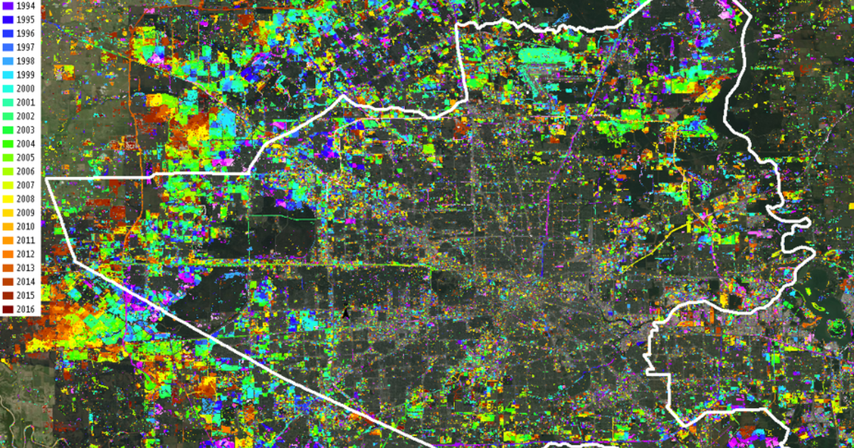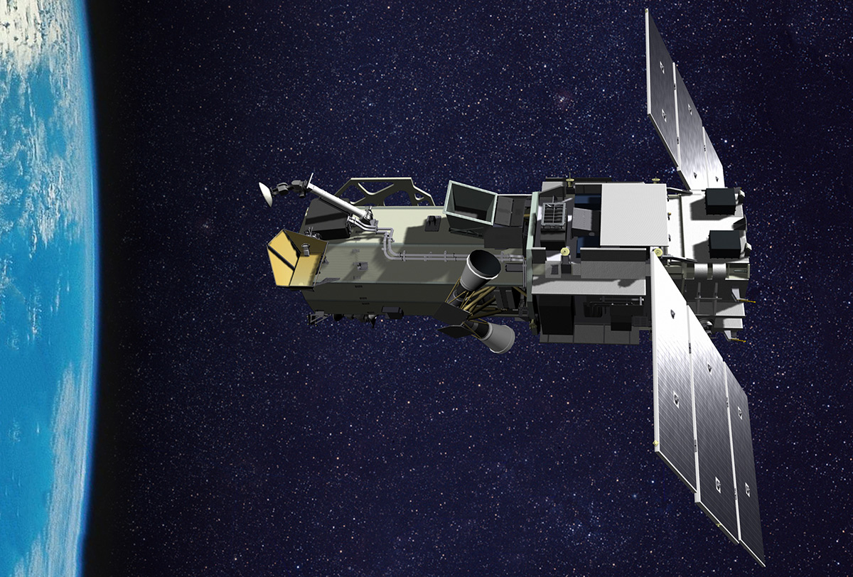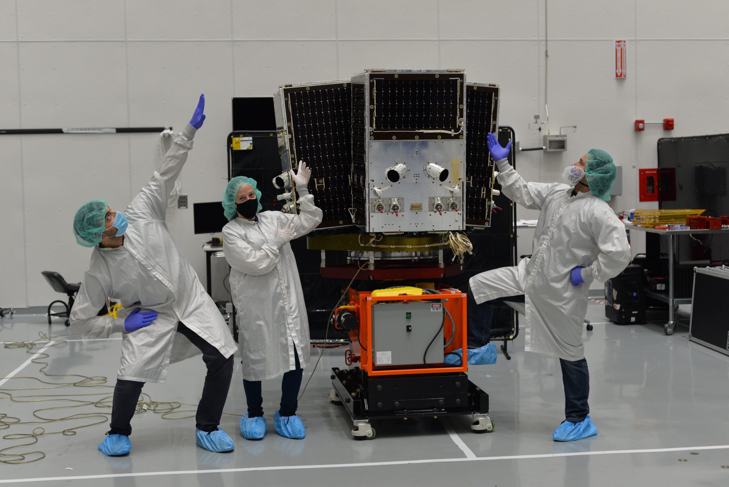
Planet Boosts Imagery Capabilities To 12 Shots A Day
"It seems that, within the US government and elsewhere, there are agencies that want to have more and more access more times a day over the areas that they care about," Jim Thomason, VP of Imagery Product at Planet told me in an interview this week.