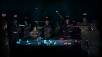

While Kuva Space’s while full constellation of 100 satellites won’t be ready until 2030, the firm can “start providing reliable service to commercial and government customers in the US and our partner nations” once the first two are up, said Jerry Welsh, board member of Kuva’s new US arm.
By Theresa Hitchens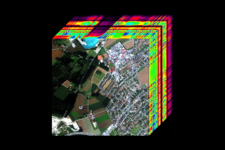
“Hyperspectral is kind of starting to have its moment in the sun, so to speak,” said Dan Katz, CEO and co-founder of Orbital Sidekick.
By Theresa Hitchens
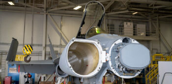
For Future Vertical Lift, the Army wants new and innovative technology that transforms their platforms into advanced weapons systems. One such technology is Raytheon Technologies’ revolutionary RAIVEN Turret 1000, first in a new family of EO/IR systems.
By Breaking Defense
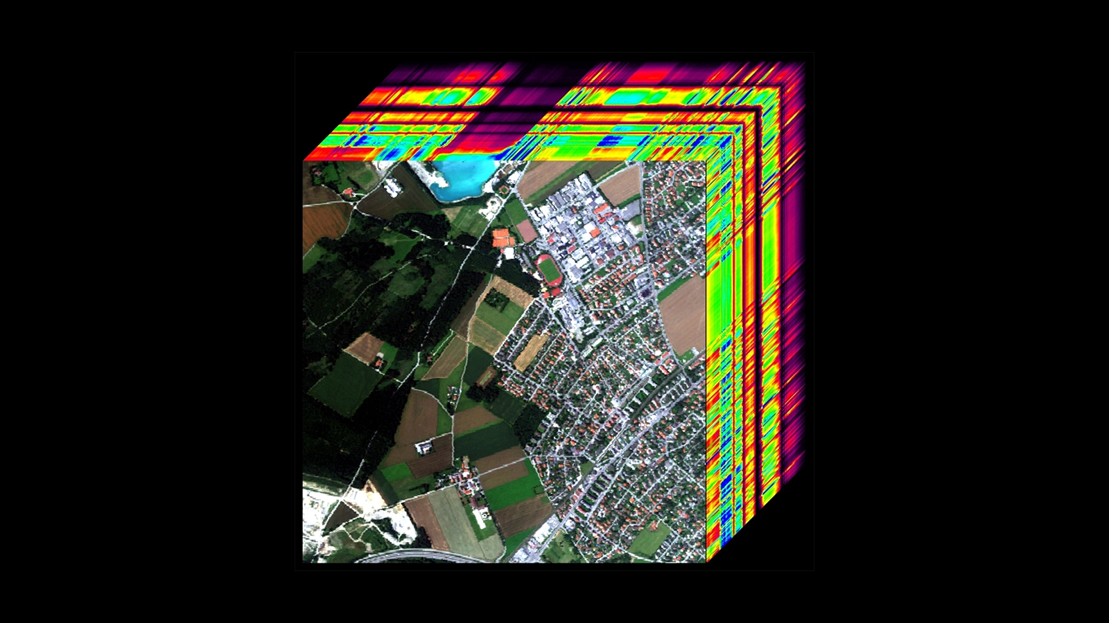
Hyperspectral sensors can “see” what materials a surface is made of and identify individual elements in the surrounding atmosphere. For national security purposes, hyperspectral imagery could for example detect evidence of chemical weapon production and/or use.
By Theresa Hitchens
Hyperspectral imagery could allow analysts at NRO’s sister agency, the National Geospatial Intelligence Agency (NGA), to do things like identify drug production facilities or find evidence of chemical weapons production.
By Theresa Hitchens
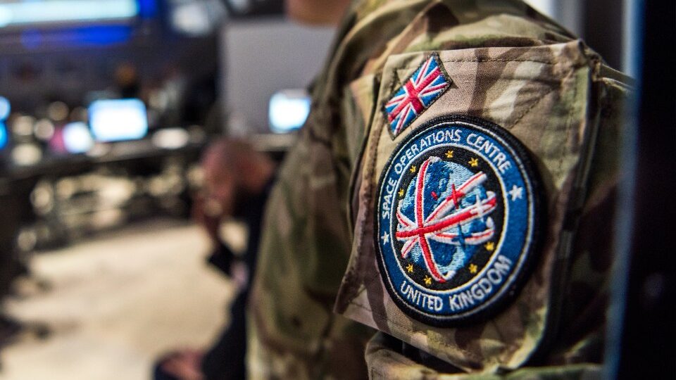
LauncherOne also will carry two experimental Cubesats to test concepts related to the UK MoD’s $1.2B effort to develop its own ISR capabilities.
By Theresa Hitchens
Jason Kim, chief executive officer of Millennium Space Systems, talks about the changing face of satellite imagery for intelligence, surveillance and reconnaissance missions.
By Millennium Space Systems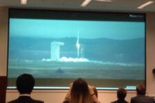
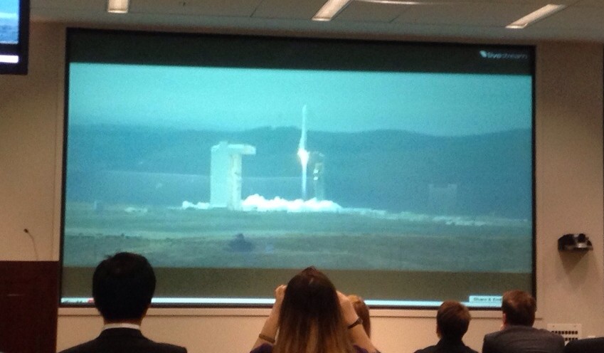
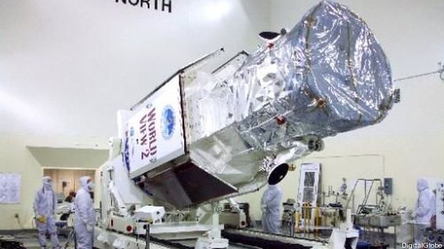
[UPDATED: WorldView-3 launched successfully Wednesday from Vandenberg Air Force Base, California at 11:30 am Pacific time, 2:30 pm Eastern] When DigitalGlobe’s WorldView-3 satellite soars skyward tomorrow – weather permitting – most attention will naturally be on the parts that go up. But the bus-sized imagery collection satellite is just the high-tech tip of an…
By Sydney J. Freedberg Jr.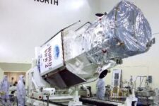
WASHINGTON: Australia used both black and white and multispectral satellite imagery from DigitalGlobe satellites shot on March 16 to search for the purported wreckage of Malaysian Airlines Flight 370. A source familiar with the issues said DigitalGlobe supplied several types of imagery other than the black and white satellite photos. The Australians used multispectral but…
By Colin Clark