


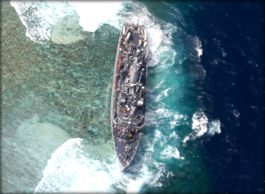
USS Guardian lies crippled on UNESCO World Heritage Tubbataha Reef in the Philippines
WASHINGTON: The January grounding of the minesweeper USS Guardian in a Philippine coral reef was caused in large part by a National Geospatial Intelligence Agency (NGA) map that was, quite simply, wrong by eight nautical miles, Breaking Defense has learned.
“It really was just a terrible fluke that caused the error,” NGA spokeswoman Christine Phillips said in a frank discussion of the incident and its aftermath.
The Sulu Sea grounding prompted NGA to order an agency-wide review of the nautical charts detailing the entire surface of the earth covered by the oceans. Also, NGA and the Navy have convened a team of maritime experts to take “an exhaustive look to make sure we are as sound as we can be,” Phillips told me.
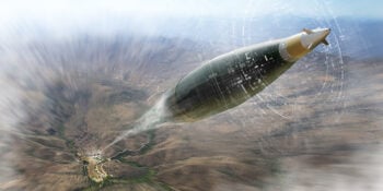
BAE Systems’ LR-PGK: The Superior Anti-Jam Solution
Going the distance to defeat emerging jam threats.
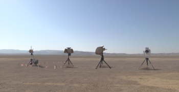
Parsons, Rafael team up on competition to defend Marine bases from small drones
The two companies will likely have stiff competition in a tech space that has proven vital for the wars both in Ukraine and Israel.