WASHINGTON: Mapping in 3D will revolutionize both Army ops planning and training, if ways can be found to deliver sufficient bandwidth to move that data to the field, senior Army officials say. This will require not only increasing connectivity between sensors and soldiers, but also developing software solutions to condense data and protocols for prioritizing who gets what data when, and over what network.
Gary Blohm, director of the Army Geospatial Center, stressed the importance of being able to bring 3D data to troop training and to operational planning. “3D data provides a lot of visualization,” he said, and “helps us navigate especially when we get to urban environments.”
One of the ways to mitigate the mismatch between connectivity and the bandwidth 3D data transmission eats up, he said, is collecting 3D data “ahead of time” so that both training and operations can be enabled in the field. “It would be our goal to preposition some data before you go someplace,” he said, “then, you only have to, as you collect more data, communicate the changes” you see to the terrain environment.
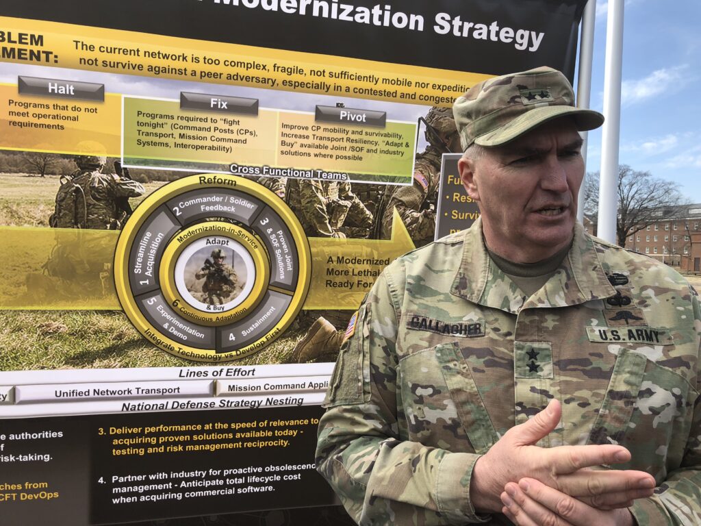
The critical issue will be “how we manage the data to ensure the most efficient use of our transport network.” Lack of bandwidth might well be the “long pole in the tent” in a “non-permissive environment,” Maj. Gen. Peter Gallagher, director of the Network Cross Functional Team, told reporters yesterday at the 2019 Association of the U.S. Army (AUSA) conference. But, he said, “If we can get compression algorithms right, where we have the means of sending it efficiently over our network transport, it may not be”
Obviously, operational requirements will outweigh training requirements in prioritizing access to 3D data. But the Army hopes its One World Terrain mapping project will be able to underpin both, including training in the field when necessary.
Maj. Gen. Maria Gervais, head of the Army’s Synthetic Training Environment Cross Functional Team, explained that under her purview, the Army has begun to test out just what “level of fidelity… the resolution we can have, and still meet the training value of what you’re trying to achieve.” So, even though the Army has collected geospatial data about terrain in a certain battlefield at 100 percent fidelity, that fine a resolution may not necessary for good training. Reducing the resolution could reduce the requirement for bandwidth, she said.

Automation vs autonomy: What will shape the future of battlefield drones?
While humans must stay in the loop for kinetic decisions, empowering drones to operate autonomously is a force multiplier.
Meanwhile, the Army is looking for ways to increase its communications connectivity and remote sensing capability, Gallagher told an AUSA panel on geospatial data and training yesterday. This includes exploring the potential to move away from traditional reliance on a small number of satellites in Geosynchronous Orbit (GEO) for both imagery and communications by leveraging the commercial boom in constellations in Medium and Low Earth Orbits. It also includes exploring how to carry network traffic on airborne platforms such as vertical lift aircraft, Gallagher said.
“Where I see the challenge is right now,” Gallagher said, “is that there is already a heavy demand for bandwidth. And regardless of how skin it, if you’re talking about map data flowing through, you’re talking about augmented reality going over the network [for training], or you’re talking about things like the medical community wanting to do tele-medicine, there’s a lot of demands on an already kind of saturated network. So we’re working through what are the options.”