 WASHINGTON: Telling a satellite to take imagery while you’re in battle has long been a Holy Grail for military commanders, and it is now a capability on the cusp of being realized under an Air Force contract with San Francisco start-up Capella Space.
Capella CEO Payam Banazadeh told me back in August that Capella would be able to provide usable high-resolution (0.5 meters) imagery within 20 minutes of tasking — via its partnership network including communications satellite operator Inmarsat, terminal maker Addvalue and Amazon for its AWS Ground Stations. SAR satellites can provide imagery even through cloud cover, fog and at night.
Such quick turn-around times (known as latency in remote sensing jargon) for images of a missile launch facility, adversary troop movements or a suspected terrorist enclave is considered a key in enabling Multi-Domain Operations (MDO); not to mention a long-desired capability for the Intelligence Community. When completed, Banazadeh said, Capella’s network also will be able to provide a new image of a target area every hour, a critical capability for detecting change.
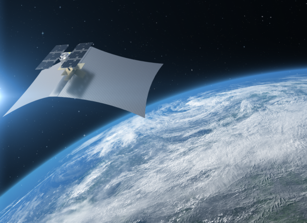
Capella secured $750,000 at the Air Force’s first Space Pitch Day earlier this month in San Francisco to demonstrate the ability of its nascent constellation of 36 synthetic aperture radar (SAR) satellites to rapidly task imagery collection and download the data. Capella’s first satellite, Denali, was launched in 2018; it’s second, Sequoia, will be launched in January; and a set of six satellites in a constellation, called Whitney, will be up by the end of the year.
“We will be working with our Air Force stakeholders to conduct demonstrations and explore adaptations of our SAR service for military applications, without impacting the commercial utility of the system,” Dan Brophy, Capella’s vice president of Government Services, told Breaking D. “We will conduct a rapid tasking and data delivery demo with Sequoia, and later with Whitney satellites.”
Indeed, Capella already has an “exploratory agreement” with the National Geospatial-Intelligence Agency (NGA) for potential use of its imagery. Brophy said the NGA experimentation “is in process, but we can’t disclose any further details at this moment.”
Brophy further noted that Capella will be doing several other types of tests under the Air Force contract. These include “demonstrating hot spot monitoring which would be similar to our Live Map service, but include specific areas of interest to the military,” he said. The Live Map service will provide near real-time mapping of areas of interest such as ports.


MQ-9B and Gambit Series: Advancing European Defense Capabilities
GA-ASI will build Gambit aircraft in Europe, partnered with European-based companies, with airframes available for international procurement starting in 2027.
“Other adaptations include object identification, change detection, and tip and cueing with other military systems,” Brophy said. The latter is a central capability for DoD, in that it allows the Air Force or the National Reconnaissance Office to swivel their extremely high resolution imaging satellites to monitor potential threats on the ground or to target discovered threats with pin-point accuracy.
“We will conduct the first demonstration at the Catalyst Campus for Technology and Innovation, sponsored by the Air Force Research Laboratory,” Brophy added. He did not give a specific date.
Catalyst Campus in Colorado Springs is a DoD-sponsored collaboration hub that to link them with venture capitalists and big aerospace and defense industry firms, and the home of the AFRL-sponsored Catalyst Space Accelerator targeted at bringing space start-ups into the DoD fold.