Download our Project Convergence eBook
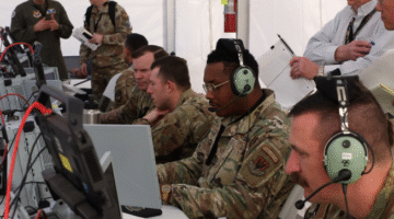
Breaking Defense reporting about what the service did during PC21, what it found, and how much further it still has to go.
Breaking Defense reporting about what the service did during PC21, what it found, and how much further it still has to go.
NRO use of shutter control on commercial electro-optical imagery would be "very rare," and "limited in both area and time," said Peter Muend, head of the spy agency's commercial office.
Breaking Defense Europe will launch May 4 with Tim Martin and Elisabeth Gosselin-Malo as co-editors.

SDA Director Derek Tournear told an industry audience today that proposals under the new OTA would be due the day before Thanksgiving. "You're welcome," he joked.

Space-based intelligence for rapid decision-making will be a critical tool in the multiforce, multidomain landscape of the near future.

"Unfortunately, some of the Army's signature modernization efforts, as spectacular as they are, don't work with the other signature modernization efforts," said Ed Mornston, G2 at Army Futures Command.
The ability to directly access remote sensing satellite data for targeting has long been a Holy Grail for the Army.

As threats rapidly evolve, digital engineering, manufacturing capacity and robust supply chains are critical to meeting challenges.

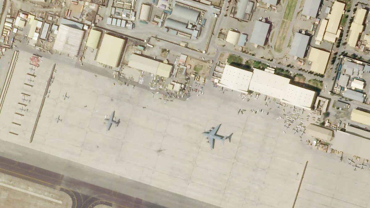
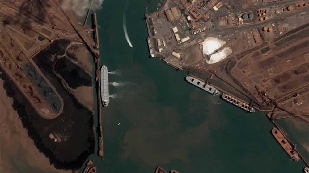
US firms won "gold" in only three of the nine categories — the same number as China — in the NGA's "Commercial Imaging Olympics."

Directly linking SDA data transport and NRO imaging satellites is one option under discussion to speed transfer of target tracking data to warfighters, SDA Director Derek Tournear says.

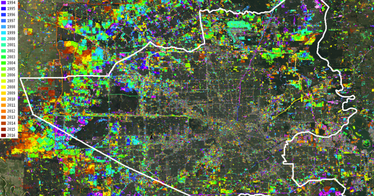
NGA is tapping industry for new capabilities, such as "persistent change detection" and "geolocation" of potential targets such as an adversary's ships.
"NGA expects unclassified space-based geospatial data to become ubiquitous and widely available," says NGA's David Gauthier.

The Sixth Domain is not defined by geography. It’s a new kind of conflict in which autonomy and networked systems allow thousand-dollar consumer electronics to destroy multi-million-dollar conventional weapons systems.
"This language from the SASC serves notice that they intend to keep a close eye on the NRO’s commercial remote sensing program," observed Keith Masback, a former senior defense and intelligence official.
"It seems that, within the US government and elsewhere, there are agencies that want to have more and more access more times a day over the areas that they care about," Jim Thomason, VP of Imagery Product at Planet told me in an interview this week.
Maxar will provide updates and enhancements using "its sophisticated change detection model and deliver land cover and classification solutions."

"[T]he trend is that a larger percentage of our work will be able to be accomplished using commercial systems than in the past," says Gauthier.