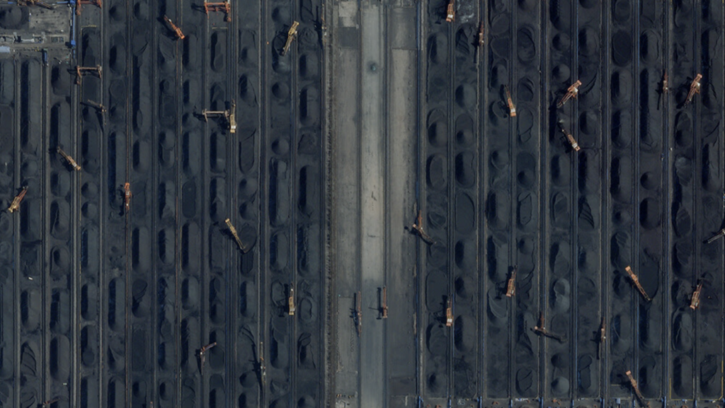
An image of Qinhuangdao Port (coal terminal), Qinhuangdao, Hebei, China, Feb. 20, 2023, taken by Planet’s SkySat constellation. (Image credit: Planet)
WASHINGTON — The National Geospatial-Intelligence Agency (NGA) is launching a new program designed to greatly expand intelligence and insights gleaned from unclassified sources for use by US and allied analysts.
The focus of the effort, called Luno A, is primarily on data gathered by commercial remote sensing satellites, an NGA spokesperson told Breaking Defense.
“Luno A will transform NGA’s approach for geospatial information and knowledge” and “expand access to data and services” for the National System for Geospatial Intelligence (NSG) network, by delivering data that enables “analysts to add context to analytic assessments, and have unparalleled insight into and data to quantify worldwide economic and environmental activity and military capabilities,” NGA’s Jan. 10 request for proposals (RFP) states.
The NSG is made up of representatives of the US Intelligence Community, the Joint Staff, the military services, combatant commands, international partners (including from the Five Eyes nations), federal agencies and other civil users of geospatial intelligence (GEOINT).
“The objective of this effort is to acquire products, data, and/or services produced from unclassified commercial GEOINT on unclassified networks, not to acquire a technology or capability to install and manage on classified networks. NGA expects industry to leverage unclassified sources and analytical capabilities available in the commercial marketplace to produce these products, data, and/or services,” the RFP elaborates.
The NGA spokesperson explained that services refers to the purchase of analysis done by commercial firms.
“Commercial analytics-as-a-service, or the purchase of analysis vice pixels, means that we can integrate commercial capabilities faster into our existing products and services (e.g., object detection),” the spokesperson said.
The commercial satellite imagery industry for several years has been moving toward a model based less on providing raw “pictures,” and more on offering client-specific services that include things like trend analysis and user-friendly tools like interactive maps.
The unclassified information gathered under Luno A will be integrated with that from other NGA sources, including classified sources, as best seen fit by the analysts working with it, the spokesperson said. Likewise, the intel “will be shared with partners, allies, and customers through a variety of mechanisms, depending on the specific mission need being met.”
Interested companies have until March 29 to respond to the RFP, and the spokesperson said that NGA is planning to make awards by the fourth quarter of this year. NGA does not normally reveal the size of its contracts.
L3Harris selloffs hampered by low bids, CEO says
“To the extent we can get a good price for what we’ve identified as non-core [businesses], we’ll do it. But too many of the offers are coming in low and people think we’re desperate to sell, and I can assure you we’re not,” said L3Harris CEO Chris Kubasik.

