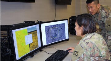
“Commercial analytics-as-a-service, or the purchase of analysis vice pixels, means that we can integrate commercial capabilities faster into our existing products and services (e.g., object detection),” an NGA spokesperson told Breaking Defense.
By Theresa Hitchens“This agreement is a significant step in responding to the Government of Ukraine’s urgent request for critical earth observation data and it will greatly benefit our Armed Forces,” said Serhiy Prytula, whose eponymous foundation crowdsources kit for the Ukrainian military.
By Theresa HitchensNGA’s Chief Information Office Mark Andress said he has an entire engineering team dedicated to certifying the accuracy and validity of imagery products and the metadata around them.
By Theresa HitchensSpace-based intelligence for rapid decision-making will be a critical tool in the multiforce, multidomain landscape of the near future.
By Maxar Technologies“Kind of like the mountains Lewis and Clark had to scale, data is a mountain we have to climb,” NGA Director Vice Adm. Robert Sharp said at GEOINT 2021.
By Theresa Hitchens“Is the coin of the realm the 70 years of craft that they have, or is it about what they uniquely hold?” asked former ODNI deputy Sue Gordon.
By Theresa HitchensNGA is tapping industry for new capabilities, such as “persistent change detection” and “geolocation” of potential targets such as an adversary’s ships.
By Theresa Hitchens“NGA expects unclassified space-based geospatial data to become ubiquitous and widely available,” says NGA’s David Gauthier.
By Theresa HitchensMaxar will provide updates and enhancements using “its sophisticated change detection model and deliver land cover and classification solutions.”
By Theresa Hitchens“[T]he trend is that a larger percentage of our work will be able to be accomplished using commercial systems than in the past,” says Gauthier.
By Theresa Hitchens“Basically, if that’s where the bulk of the data is, then we will work where the data exists,” David Gauthier, head of NGA’s Commercial and Business Operations Group, said about using commercial imagery analysis.
By Theresa HitchensTITAN won’t just take data from satellites, as a traditional ground station. It will link with space, high altitude, aerial and terrestrial ISR sensors to provide targeting data directly to Army fires networks.
By Theresa HitchensGEOINT: In a stark speech clearly intended to get people off their complacent butts, the Marine general who leads the Defense Intelligence Agency told an approving audience here that the Intelligence Community risks becoming as irrelevant as the Kodak film company became with the advent of digital photography. “Let me ask you one final question.…
By Colin ClarkGEOINT: It all began over very old old Scotch at New York’s famed Explorer Club. The top two leaders of the National Geospatial Intelligence Agency, Robert Cardillo and Susan Gordon, met with Anthony Vinci, now NGA’s director of plans and programs, to discuss ways to get more value from the agency’s incredibly valuable pools of…
By Colin Clark