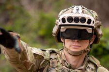

Maxar has been working on the Army’s virtual map program since 2019.
By Aaron Mehta
“These restrictions would severely hurt commercial companies’ ability to operate high resolution constellations and is counter to the efforts of the past two years to make NOAA regs streamlined and enable US companies to compete internationally,” one industry rep said.
By Theresa Hitchens
NRO use of shutter control on commercial electro-optical imagery would be “very rare,” and “limited in both area and time,” said Peter Muend, head of the spy agency’s commercial office.
By Theresa Hitchens
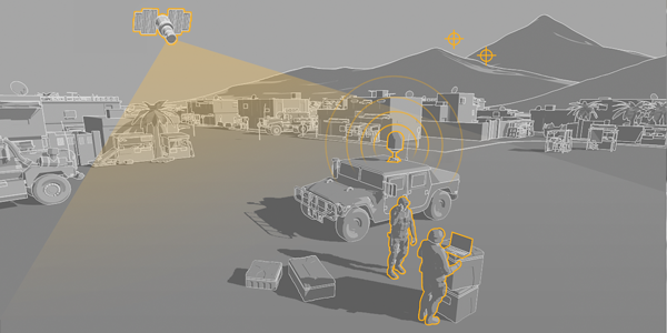
Space-based intelligence for rapid decision-making will be a critical tool in the multiforce, multidomain landscape of the near future.
By Maxar Technologies
ODNI is working on providing outside partners with declassified explanations of the office’s science and technology priorities, said John Beieler, director of science and technology.
By Theresa Hitchens
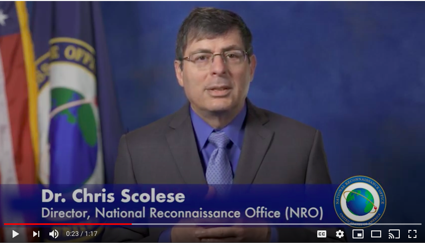
“Artificial intelligence and machine learning onboard the satellites to help us control the constellations is absolutely critical,” says NRO Director Chris Scolese. For ground stations, too.
By Theresa Hitchens
Gary Blohm, director of the Army Geospatial Center, said 3D is important to troop training and to operational planning because it “helps us navigate, especially when we get to urban environments.”
By Theresa Hitchens
“[A]dversaries could track the movements of U.S. and allied military equipment, detecting patterns of training and operations; hyperspectral imaging can identify chemical compositions; short-wavelength infrared imaging can see through clouds; and SAR sensors can image at night. When determining risks to national security, one can define it as the risk of being seen or detected.”
By Theresa Hitchens
UPDATED: Adds Details On New Data Partnerships; IC Works With DepSecDef Video Task Force GEOINT: To cope with the gargantuan increase in data sure to come, the National Geospatial Intelligence Agency must broaden its outreach to industry and the civil community, and, at the same time, ensure that it does a better job of ensuring…
By Colin Clark