
WASHINGTON: The National Reconnaissance Office (NRO) awarded two first-of-a-kind contracts to study new kinds of commercial satellite surveillance, the spy agency announced today.
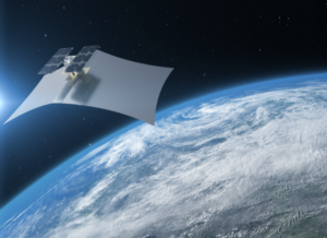
- One award goes to Capella Space for commercial synthetic aperture radar (SAR), which can see through cloud cover.
- The other goes to Hawkeye 360 for remote sensing of radio frequency (RF) transmissions, which include both communications and radar.
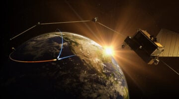
This is not just about sucking up more data: The studies also look at how to check accuracy and incorporate the new information into the NRO’s existing databases, able to combine SAR, RF, and visual perspectives on the same target. The agency especially wants to add the rapidly growing capabilities of commercial satellites with its own (expensive) purpose-built birds, creating what the announcement calls “an integrated overhead architecture consisting of both national and commercial capabilities.”
“The NRO is interested in better understanding the current capabilities of a variety of commercial vendors and assessing how those capabilities could potentially support the NRO’s national security mission,” said Pete Muend, director of the NRO Commercial Systems Program Office. “With these two contracts, we are exploring the integration of commercial SAR and RF in ordering and imagery delivery into the NRO architecture.”
NRO has had a complicated relationship with commercial remote sensing providers, especially those working with SAR and other powerful new technologies. In an interview during GEOINT 2019, NRO’s director of geospatial intelligence, Troy Meink, told Breaking D that the agency was interested in moving beyond visual imagery to “other phenomenologies — radar and others — that are just in the incubation period in the commercial world.” What he did not mention is that US policy long prevented US firms from selling commercial SAR data.
Capella is the first US commercial SAR provider to work with the NRO.

America needs next-gen solutions to counter modern air and missile threats
Defending a country the size of the US from threats requires advanced sensing, communications and interception capabilities.
“Capella’s SAR service provides high revisit rates and images in all weather and lighting conditions,” said Dan Brophy, vice president of government services at Capella Space, in a press release today. “SAR also captures amplitude and phase history enabling the extraction of valuable information such as material properties, digital elevation mapping, and precise changes and movements, not available with optical imagery.”
Capella CEO Payam Banazadeh told me back in August that Capella would be able to provide usable high-resolution (0.5 meters) imagery within 20 minutes of tasking. That’s a much higher revisit rate than current NRO systems, because Capella uses a larger number of satellites in Low Earth Orbit.
Capella in November secured $750,000 at the Air Force’s first Space Pitch Day in San Francisco to demonstrate the ability of its nascent constellation of 36 SAR satellites to rapidly task imagery collection and download the data. Capella’s first satellite, Denali, was launched in 2018; its second, Sequoia, will be launched in January; and a further constellation of six satellites, called Whitney, will be up by the end of the year.
HawkEye 360 Inc., is the first US commercial company to use a satellite constellation to create RF data analytics. Breaking D readers may remember that the Herdon, VA-based startup launched its first three Pathfinder RF geolocation satellites in December 2018 on the SpaceX Falcon 9. In February, Hawkeye 360 announced that it had successfully performed its first tracking missions, and in April released its first mapping product called RFGeo. According to the company, RFGeo will “initially support identification and geolocation of maritime VHF radio channels, marine emergency distress beacons and vessel (AIS) signals.”
The contracts to Capella Space and Hawkeye 360 join four commercial imagery studies previously awarded by the NRO to Black Sky, HySpecIQ, Maxar Technologies, and Planet.